The Chilterns Cycleway Guide Book
The Chilterns Cycleway is a 170 mile (274 km) circular route in the Chilterns Area of Outstanding Natural Beauty, linking places of interest in Oxfordshire, Buckinghamshire, Bedfordshire and Hertfordshire.
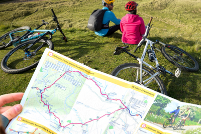
This guidebook is a must for anyone planning to cycle the route. In addition to detailed Ordnance Survey route maps for each section of the Cycleway you will find information on pubs, tea rooms and other attractions along the way, as well as suggested routes for day rides and gradient profiles for each section.
The route is on-road, mostly on quiet lanes, and is clearly signposted. It can be cycled in either direction, and can be started at any point, but is most easily accessible from one of the gateway towns; Henley-on-Thames, Wallingford, Princes Risborough, Wendover, Tring, Amersham, Harpenden and Berkhamsted.
The Cycleway is undulating with some steep climbs and descents in places. This, combined with the fact that there are a few busy sections of road along the route, makes it unsuitable for beginners, although there are rides suitable for novice and family cyclists in the day rides section.
Shop all our cycling books here.
Author: The Chilterns Conservation Board
Published: 2010
Miles: 170
Level: Moderate/Challenging
Pages: 53
Shipping
Orders received by 12pm will be dispatched on the same day Monday to Friday. Orders placed over the weekend will be shipped Monday, excluding bank holidays.
Pricing
Free delivery for all UK orders over £100
Standard delivery £2 for orders of Sustrans maps (up to 2 maps)
Standard delivery £3.95 for orders up to 2kg
Standard delivery £5.50 for orders over 2kg
Next day delivery (RoyalMail Tracked 24) £11
Rest of the world
Delivery charges vary according to weight.
EU orders are subject to VAT charges which are included in the price seen at point of payment.
Delivery is via a specialised EU courier and can take up to 2 weeks.