


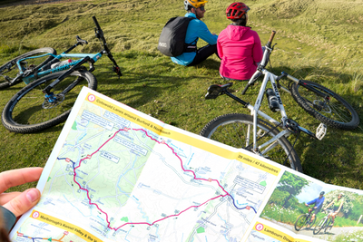
Plan your next adventure with our regional cycle maps, National Cycle Network route maps, and walking and cycling guides.
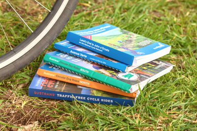
A range of walking and cycling books covering the UK from day rides to traffic free rides and more.
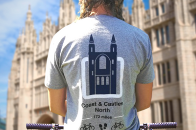
Browse our range of Sustrans t-shirts, featuring unique designs and iconic routes, plus a selection of waterproof and reflective cycle clothing.


